How can we make sense of the flow of images shared on the internet and social networks ? This workshop will introduce participants to some basic techniques for identifying the source and geolocation of images posted online without any further element of context. These techniques are gathered under the umbrella term of OSINT which stands for Open-Source INTelligence, the use of publicly available data and tools to foster ones understanding of an event or a situation.
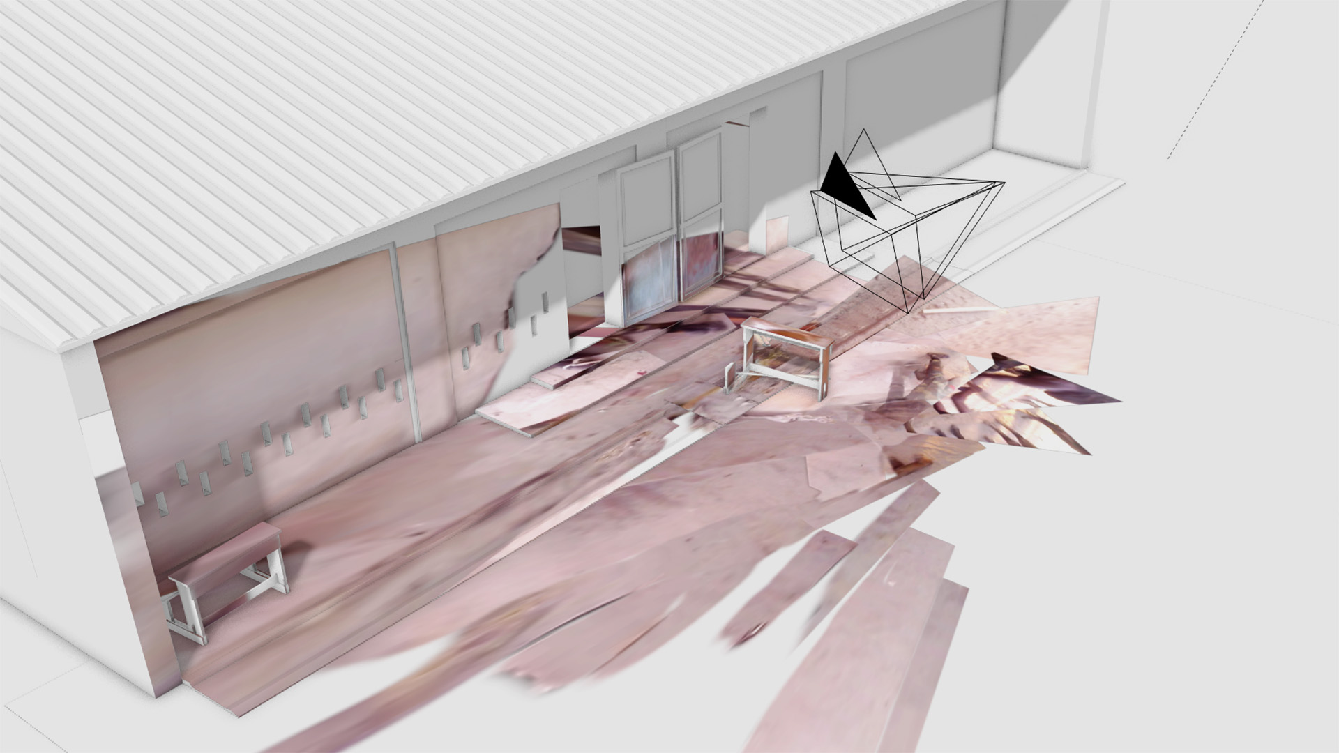
Journalists and researchers use such techniques to help debunk fake news and restore counter-narratives. On top of this, participants will also be introduced to the technique of camera mapping which consist of recreating a 3D replica of the space of a given image. Using free and open-source tools Blender and fSpy participants will learn how to go deeper in their research by modeling a basic 3D model at scale and then use this model to calculate the estimate size of objects or the time of the day of an image using shadow matching.
*** this workshop is full! registration has been disabled.
img © Violetta Wakolbinger